A line of strong storms moved through the D.C. area Tuesday evening, prompting several severe thunderstorm warnings and a watch.
The storms have moved to the east, and the warnings and watch are moving out with them.
Go here to see all weather alerts.
Once the storms move through, that will be the end of the severe weather for the day, but showers could continue through the evening. Flash flooding is possible.
We're making it easier for you to find stories that matter with our new newsletter — The 4Front. Sign up here and get news that is important for you to your inbox.
There are a lot of trees down as a result of the strong winds. At Swan Point, a wind gust of 70 mph was reported.
The severe storms come a day after strong storms rolled through, spinning off at least two tornadoes, the National Weather Service says.
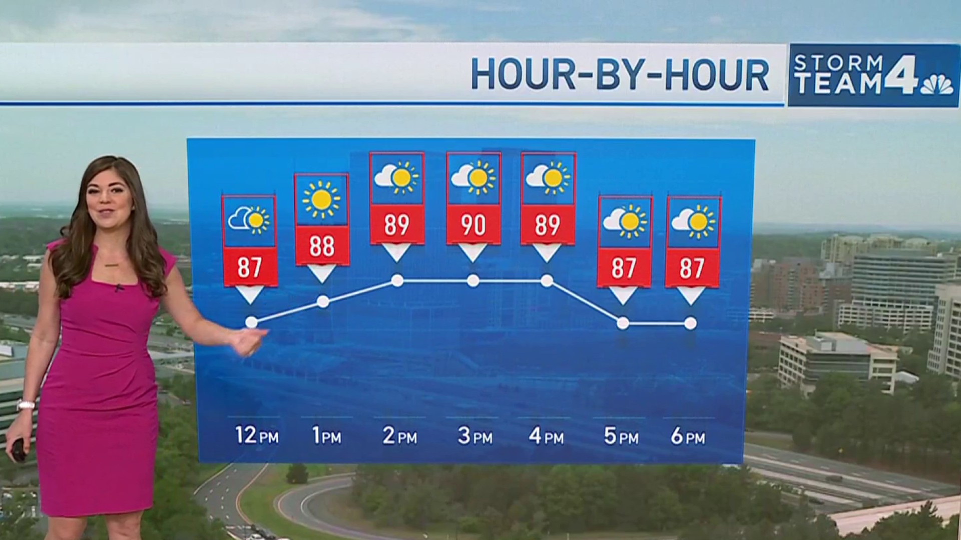
The skies will dry out and settle down overnight, then summer-like heat will tamper down for the rest of the week.
Weather
Latest weather forecast, live radar and weather maps for Washington, D.C., Maryland and Virginia

Wednesday will bring another high rain chance but a lower threat for severe storms since it will be cooler with highs only in the mid-70s.
A cold front will reach the I-95 corridor by early Wednesday afternoon. This will bring in cooler and less humid air but also a period of gusty winds.
Thursday will be sunny and cool.
On Friday, expect highs barely above 60° with and a likelihood of some afternoon showers.
For the weekend, Saturday is likely to stay cool and dry.
The Mother's Day forecast for the D.C. area looks warmer, in the mid-70s, with a chance of rain.
Stay with Storm Team4 on NBCWashington.com, the NBC Washington app and Twitter for the latest weather updates