
Multiple waves of heavy rain have drenched the D.C. area Wednesday. Most areas could get at least 2 inches of rainfall and up to 4 inches are possible locally through Thursday, Storm Team4 said.
A flood warning is in effect for D.C. and parts of Montgomery, Prince George's, Arlington, Fairfax, Culpeper, Fauquier, Prince William, Stafford and Spotsylvania counties and the cities of Alexandria, Fairfax, Falls Church, Fredericksburg, Manassas and Manassas Park until early Thursday morning.
We're making it easier for you to find stories that matter with our new newsletter — The 4Front. Sign up here and get news that is important for you to your inbox.
Moderate to heavy downpours began around lunchtime, and the heaviest rain will fall tonight and continue into Thursday.
Storm Team4 has declared a Weather Alert Day.
Weather
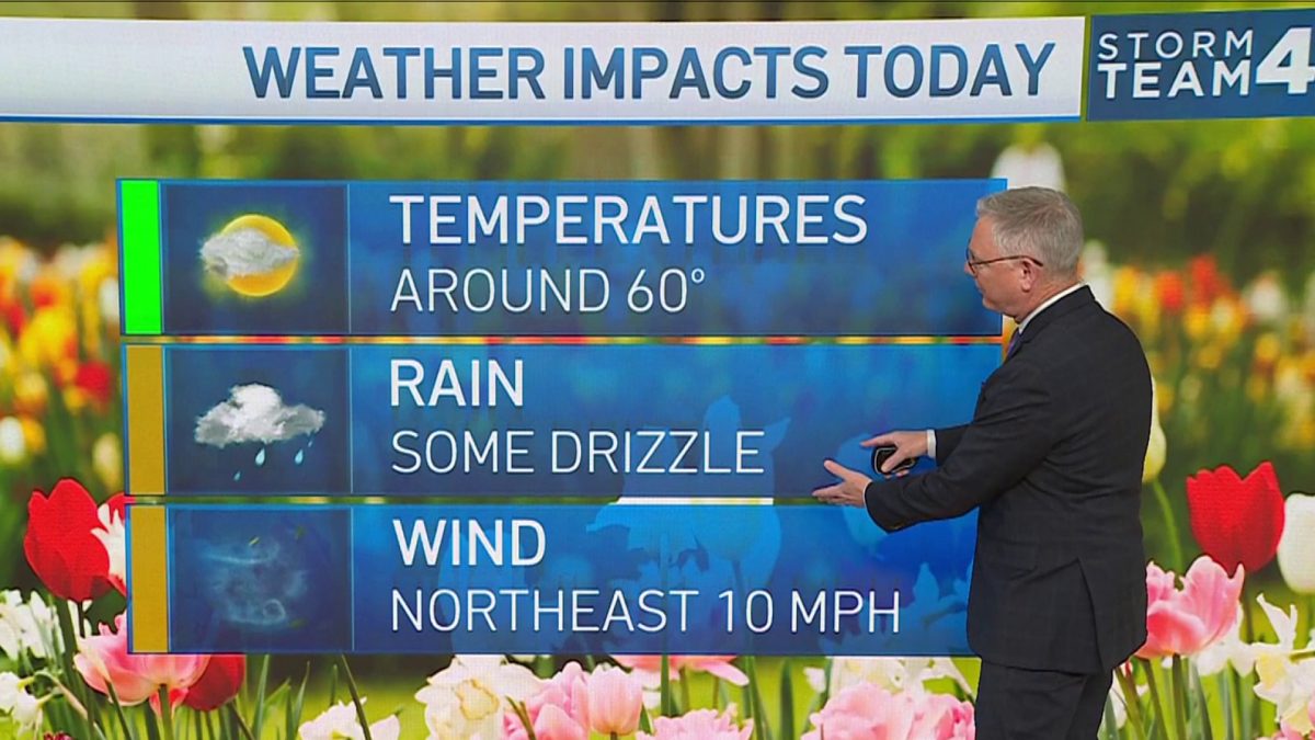
Latest weather forecast, live radar and weather maps for Washington, D.C., Maryland and Virginia

Overnight, temperatures could hover around 70 degrees due to the tropical connection of the rain.
Tropical Storm Eta roaring in the Gulf of Mexico is supplying moisture to the D.C. area, although the storm won’t move this far north.
“We have both the tropical season and the winter season coming into contact with each other and that’s the reason for the dramatic amounts of rainfall potential,” Bell said.
Flooding could occur in urban areas where storm drains can’t flush away the deluge. Never drive into a flooded roadway. Turn around, don’t drown.
On Thursday, there’s still a 100% chance of rain. Expect steady rain early, then showers into the evening.
Grab extra layers as you head out the door early Thursday: It’s set to cool from the mid-60s to the high 50s throughout the day.
The D.C. area will dry out on Friday, leaving room for a much cooler weekend with dry conditions and periods of sunshine.
Stay with Storm Team4 for the latest forecast
