
Enjoy some sunshine and mild temperatures on Friday in the Washington, D.C., area before chilly, windy weather blows in for the weekend.
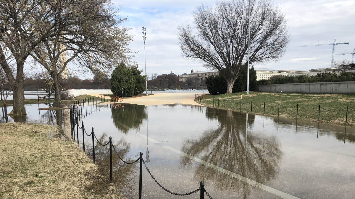
After a pair of rainy days, heavy rain has moved out. A dense fog advisory was in effect Friday morning for parts of the area. Then highs in the mid-60s were expected Friday.

Have you seen the cherry blossoms yet? Check them out soon, because windy, cold weather over the weekend poses a risk to the delicate flowers.
We're making it easier for you to find stories that matter with our new newsletter — The 4Front. Sign up here and get news that is important for you to your inbox.
There’s a 40% chance of Saturday, so keep an umbrella handy in case of afternoon showers. Lows will be in the 40s and highs in the mid-50s.
Don’t pack your winter gear away for the season yet.
Sunday’s forecast is much cooler, with lows in the 30s and highs in the upper 40s amid windy conditions.
The cold snap is set to continue Monday. Subfreezing temperatures are possible overnight, and temperatures will be stuck in the 40s.
After a similarly chilly day Tuesday, milder air and temps in the upper 50s to low 60s will return.
