
The D.C. area is still baking as the heat wave stretches into a seventh day after a humid Fourth of July -- but relief is on the way.
Temperatures will again reach the 90s Thursday, and, again, the humidity will make it feel even hotter, from the high 90s to possibly 100 in some areas.
Top 10 Beaches Near the DC Area
A few thunderstorms are also possible later Thursday.
But the end is in sight: Friday will be a big transition day before we get some relief from the heat and humidity this weekend.
Expect mostly cloudy skies Friday, with a slight chance of an early shower. Most showers and storms will arrive in the afternoon and evening Friday as a cold front moves in. However, severe storms are not likely.
A cold front will move through the area Friday night, and the rain will be gone by Saturday morning.
Local
Washington, D.C., Maryland and Virginia local news, events and information
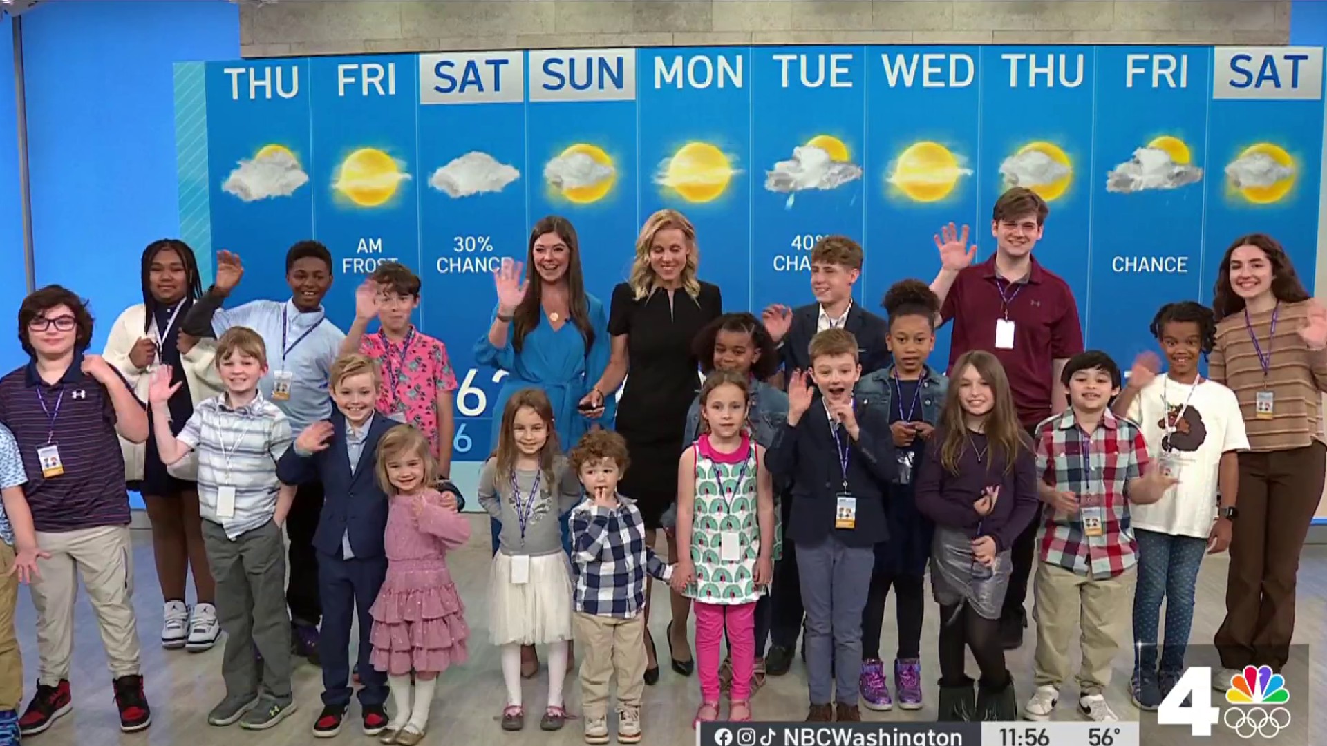
This weekend, we'll finally feel some cooler air, and the humidity will drop to a very comfortable level. Highs may only be around the low 80s Saturday and Sunday.
The entire weekend will be free of rain, making for a great opportunity to hit the pool and spend time outside.
But next week, we could again get another stretch of heat and humidity, with temperatures back in the 90s.
Here's how you can stay safe and be a bit more comfortable in the extreme heat:
- Wear light and loose clothing
- Stay hydrated
- Avoid beverages with alcohol or caffeine
- Wear sunscreen with an SPF of 30 or higher
- Avoid hot and heavy meals
- If you're working outside, try to take a break and go inside every 45 minutes to an hour, said Dr. Robert Schesser of George Washington University
Road Trip! 10 Places to Cool Off Within 100 Miles of DC
Tuesday was the hottest day of the year so far, with a high of 97 degrees and a heat index of 110.
