
Following a blustery afternoon in the D.C. area Wednesday afternoon, t he temperature will fall into the teens and 20s Thursday morning, which will cause refreezing and ice in some areas, but that won't be widespread.
Public schools in Prince William, Spotsylvania, Stafford, Culpeper and Fauquier counties will open two hours late Thursday.
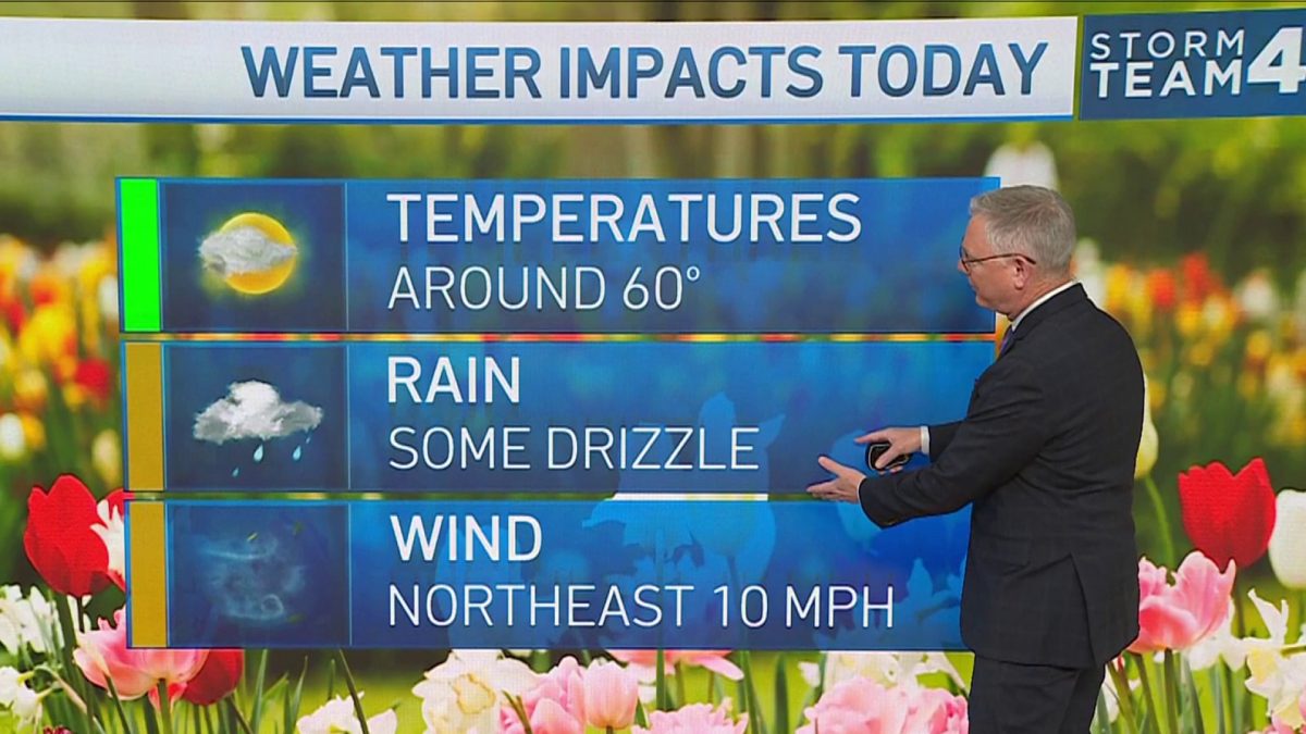
The temperature will be in the 30s most of Thursday with a high around 40 before springlike weather moves in for the weekend.
A wind advisory was issued then canceled by the National Weather Service Wednesday, but potentially damaging gusts about 40 mph howled around the D.C. area Wednesday afternoon. The wind died down Wednesday evening.
Commuters Wednesday morning faced leftover slick or icy spots from Tuesday's snow. School districts throughout Maryland, Virginia and West Virginia closed or delayed to protect students from hazardous road conditions.
Public schools in Culpeper, Fairfax, Fauquier, Loudoun, Prince William, Page, Spotsylvania and Stafford counties declared Wednesday a snow day in anticipation of slick roads. Arlington, Alexandria City, Falls Church, Fredericksburg, Montgomery County and Prince George's County public schools opened two hours late. Go here to see a full list of school closures and delays.
Weather
Latest weather forecast, live radar and weather maps for Washington, D.C., Maryland and Virginia

Parts of Loudoun and Montgomery counties were also hit by a snow squall — a fast-moving storm that could quickly impact road visibility. The warning has since ended for the D.C. area.
D.C. has activated its hypothermia alert due to the low temperatures. If you or someone you know in D.C. needs shelter, call 311.
Much warmer air will arrive Friday, with highs in the 50s, and be here through the weekend.
A springlike storm will accompany the springlike warmth. Expect isolated showers Saturday and morning showers Sunday with highs in the upper 60s both days.
