
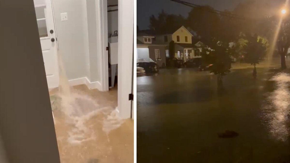
A flash flood watch will take effect in most the D.C., Maryland and Virginia area as heavy rain is expected overnight and through this week.
Storm Team4 is in weather alert mode as the area is set to see more storms. You can see all alerts here.
Stream NBC4 newscasts for free right here, right now.
Almost two-thirds of an inch of rain fell in D.C. in the early hours of Tuesday, Storm Team4 Meteorologist Chuck Bell said.
However, there will also be lots of dry time Tuesday as we continue to see very muggy conditions. Temperatures will top out in the mid to upper 80s, with mostly cloudy skies, although there could be a few peeks of sunshine here and there.
We have the news you need to know to start your day. Sign up for the First & 4Most morning newsletter — delivered to your inbox daily.
Most showers will affect areas east of Interstate 95 and west of the Blue Ridge Mountains as we continue through the day, although a few spotty showers are possible in between, Storm Team4 Meteorologist Lauryn Ricketts said.
Expect a few more showers around the D.C. area late Tuesday night and into the overnight, with a thunderstorm or two possible as remnants of Fred edge closer to the Mid-Atlantic. Moisture from Fred will continue to push up the Ohio Valley, passing just west of our region Tuesday night through early Thursday morning.
Plan for Rain Every Day for the Rest of the Week
The remnants of Fred will continue to spread heavy rain into the D.C. area, likely from the west to the east, during daytime Wednesday. Temperatures Wednesday will top out in the mid to upper 80s once again, with incredibly muddy conditions. Some of the rain could bring some heavy downpours along with a few thunderstorms, which could be strong.
By Thursday, most of the remnants of Fred will be well northwest of the region. We will keep a chance of a few showers here and there on Thursday, with mostly cloudy skies and temperatures rising into the mid to upper 80s — and once again with humid conditions, Ricketts said.
Daily chances of rain will continue Friday, Saturday and Sunday, with the humidity sticking around. Temperatures will top out right around 90° as we get into the weekend. We will continue to monitor the flooding threat right on through Sunday.

Stay with Storm Team4 and NBC Washington for updates to the forecast.