
Thunderstorms raced through the Washington, D.C., region Wednesday evening, knocking down hundreds of trees, causing thousands of power outages and raising concerns about flooding. By 6 p.m. this turned from a wind damage event to a flood warning event.
Parts of D.C., Maryland and Northern Virginia were under a flood warning until 3 a.m. Thursday, including Montgomery, Prince George’s, Arlington and Fairfax counties and the cities of Alexandria and Falls Church.
Stream NBC4 newscasts for free right here, right now.
Several severe thunderstorm warnings and flood warnings were issued as destructive storms with wind gusts as strong as 80 mph moved through Virginia.
Expect more rain, heavy at times in some places, until 10 p.m. Then expect heavier rain between 10 p.m. and 2 a.m.
We have the news you need to know to start your day. Sign up for the First & 4Most morning newsletter — delivered to your inbox daily.
A flood watch is in effect for much of the region through this evening. Go here to see all weather alerts from the National Weather Service.
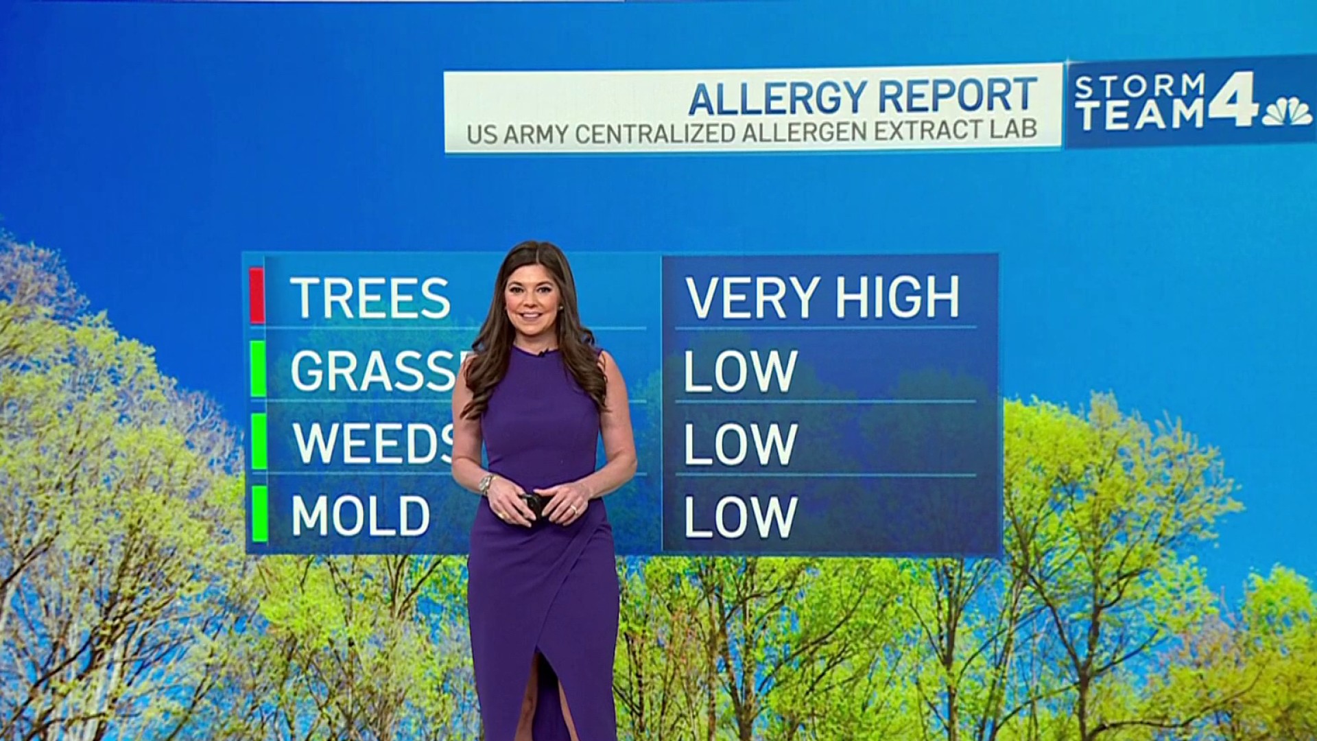
Weather
Latest weather forecast, live radar and weather maps for Washington, D.C., Maryland and Virginia

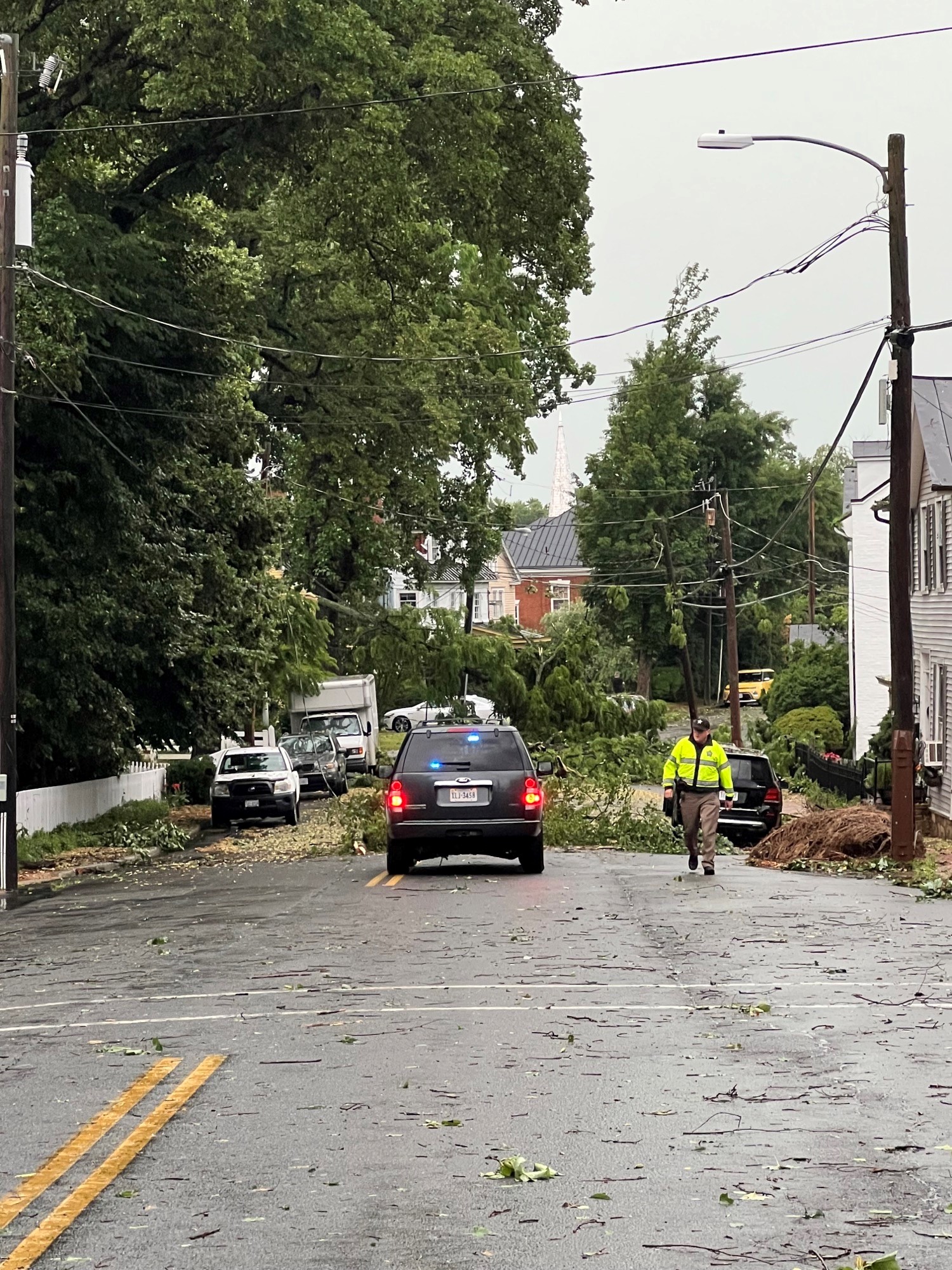
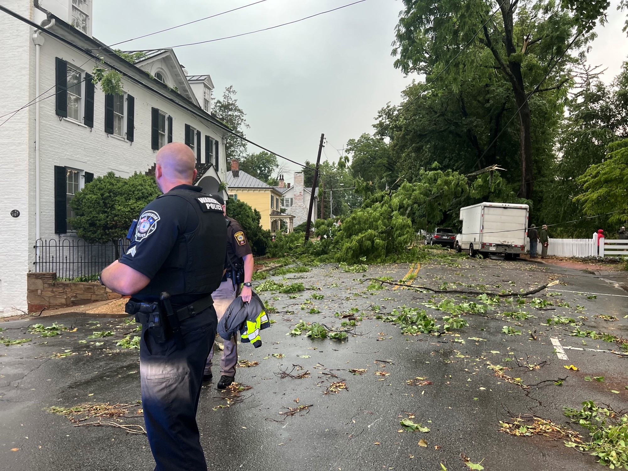
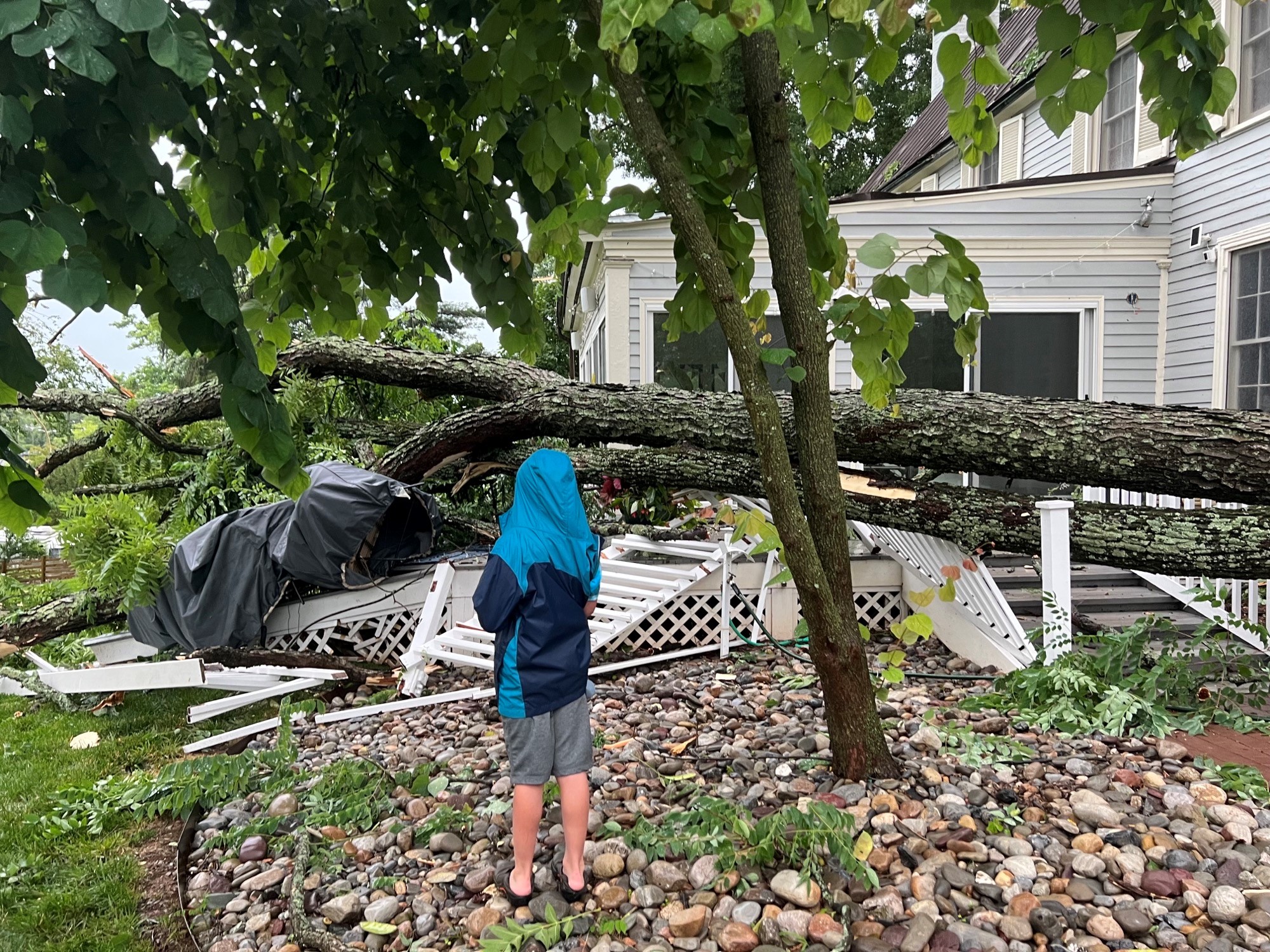
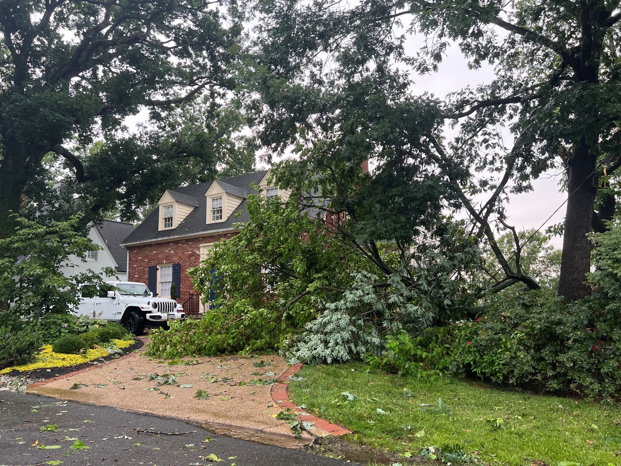
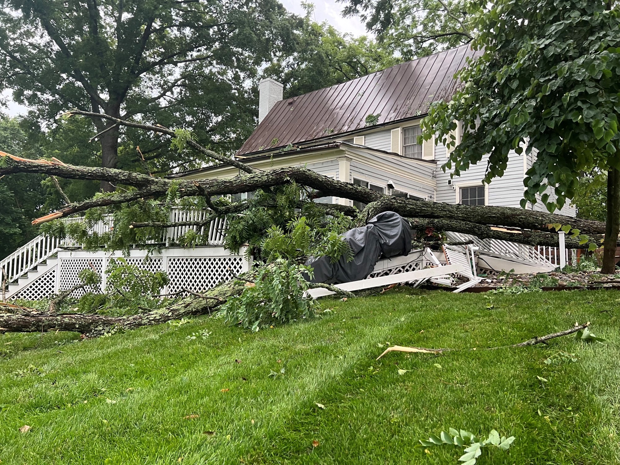
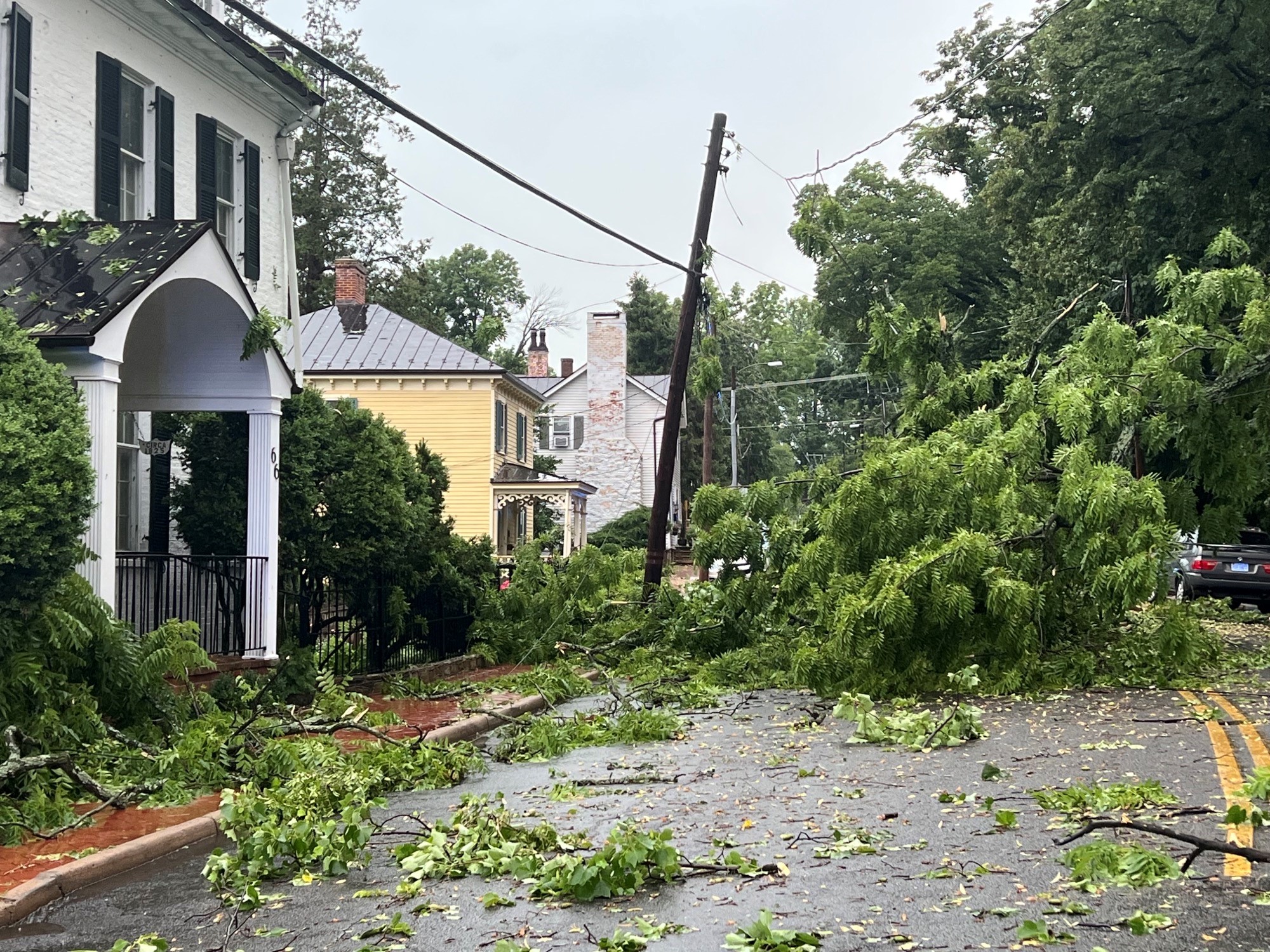
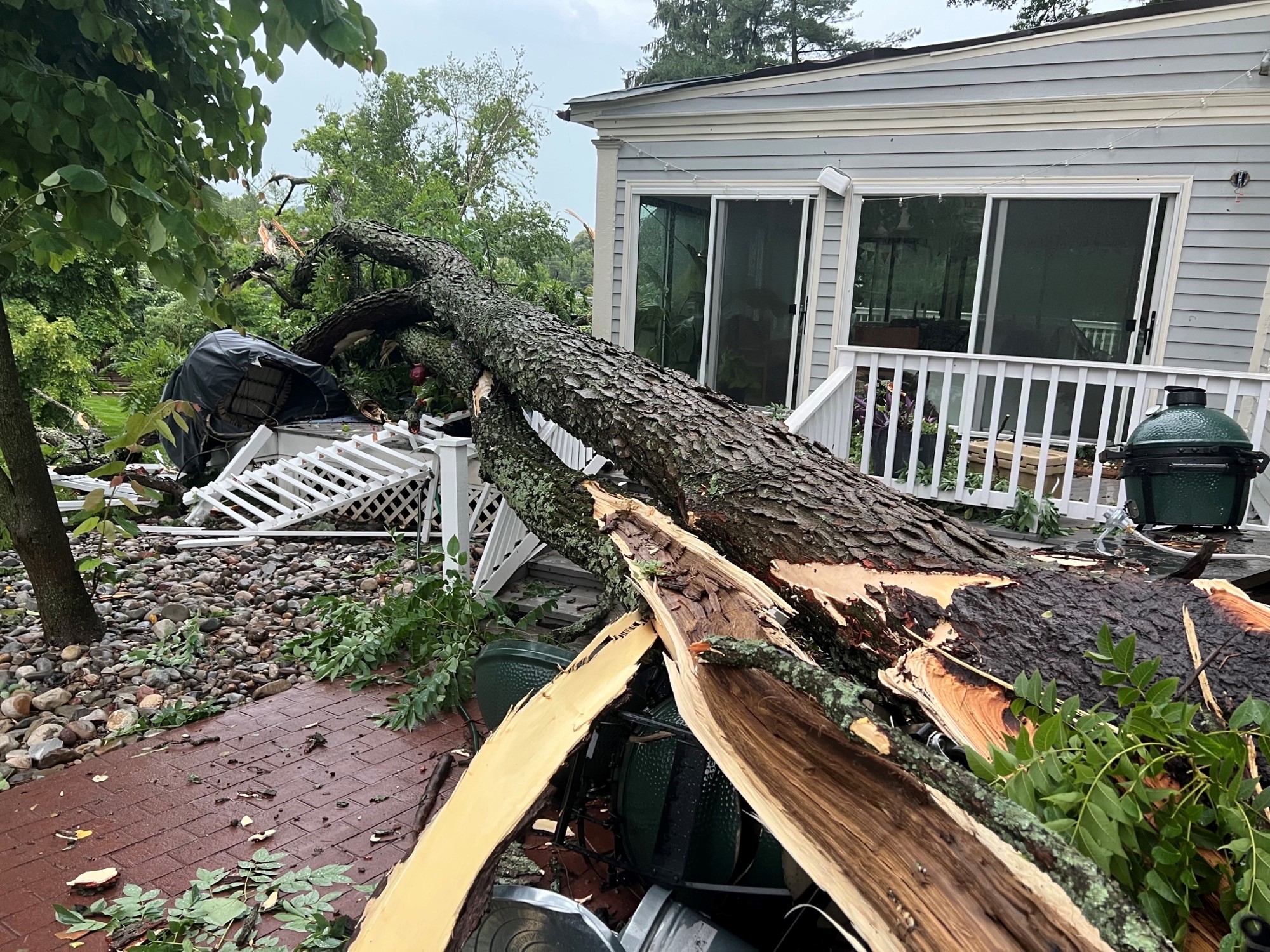
Three buildings and hundreds of trees were knocked down by strong winds in the Warrenton area.
News4 spoke to a woman in Warrenton who was trapped in her house because of fallen trees.
Photos: Warrenton Hit With Heavy Storm Damage

A number of trees were damaged in Fredericksburg by 70 mph winds in an earlier storm. Near Dulles Airport winds have been as high as 80 mph.
Thousands of people lost power and it could take awhile for it to be restored due to the amount of cleanup required.
About an inch of rain is possible in metro Washington. Amounts closer to 2-3 inches are likely in areas west of D.C. The flood threat will be highest after dark, so take extra precautions when traveling Wednesday night.
Thursday will be cloudy and much cooler with highs in the low to mid-70s. There's an 80% chance of rain, so expect some showers — especially during the first half of the day.
By Friday, the weather will turn sunny, dry and comfortable. The weekend is looking dry, seasonably hot and a bit more humid.
We've got the news you need to know to start your day. Sign up for the First & 4Most morning newsletter — delivered to your inbox daily. Sign up here.