


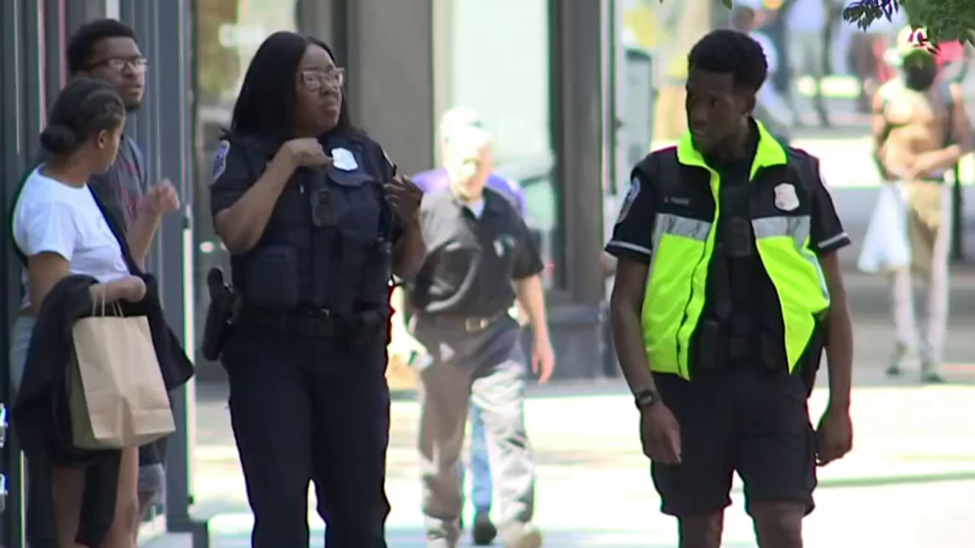
A witness captured the aftermath of an attack on the Metropolitan Branch Trail on cellphone video, but when that witness called 911 for help, the response wasn’t as quick as you’d expect. News4’s Mark Segraves explains.
An attack on a D.C. trail last week highlighted another problem for D.C.’s troubled 911 system.
A witness got video of two teens after they attacked a woman on the Metropolitan Branch Trail, police said. The witness called 911, but the response was not as quick as expected. Police were delayed because there are no mile markers along the trail allowing dispatchers to know exactly from where a call for help is coming.
Cycling advocates have been complaining for years about the lack of mile markers along the Metropolitan Branch Trail.
“The Met Branch Trail is just one trail of many in the district, so we're going to have this same solution implemented on the Anacostia waterfront trail,” said Greg Billing of the Washington Area Bicyclists Association. ”The Capital Crescent Trail already has trail markers, but there are more trails coming.”
Without those markers along biking and hiking trails, 911 dispatchers have a very hard time sending police or paramedics to an exact location. The location of last week’s attack was not in the dispatch system, witnesses were told.
The head of D.C. Homeland Security and Emergency Management said they have a short-term solution: GPS coordinates for some landmarks along the Metropolitan Branch Trail have been added to the 911 system.
“It's not a perfect solution,” Billing said. “The perfect solution is to get as much information on the trail so that people know where they are, and it really needs to be done today.”
Local
Washington, D.C., Maryland and Virginia local news, events and information

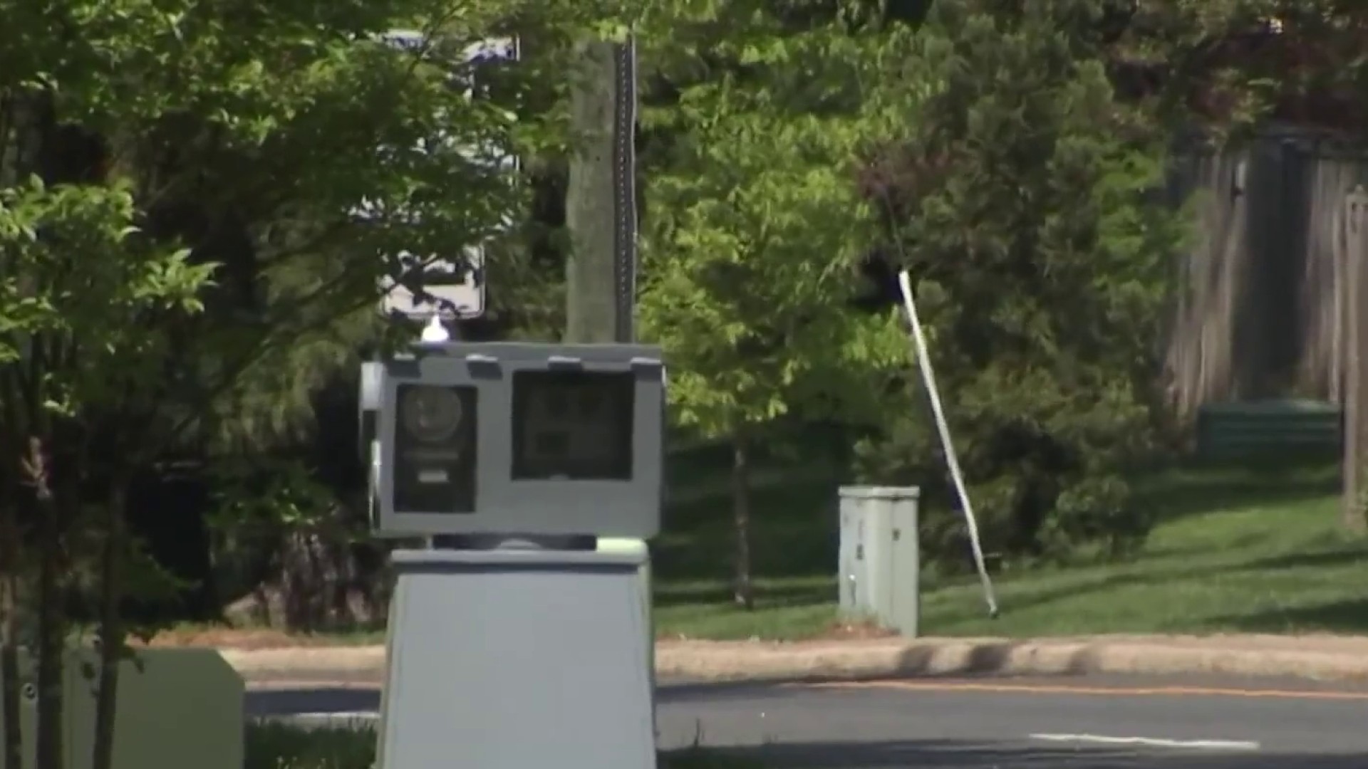
The long-term solution is to install mile markers with GPS coordinates associated with them along that trail and other trails like the Anacostia Riverwalk Trail, so when someone calls for help, dispatchers know exactly where they are.

