
Wintry weather walloped the Washington, D.C., area just a week ago, but this Saturday might feel closer to summer — complete with humidity, warmth and potential for storms.
Storm Team4 also has a heads up for anyone with allergies: Tree pollen is high in the D.C. area.
Some showers and possibly a few storms are on tap Saturday afternoon. Overall, there’s a 50% chance of rain. It won’t be a washout, but be ready to adapt your outdoor plans.
We're making it easier for you to find stories that matter with our new newsletter — The 4Front. Sign up here and get news that is important for you to your inbox.
Isolated showers could become more frequent by mid- and late afternoon as temperatures climb toward the upper 70s — about 20° above average. At points, it will also be a little more humid than usual for this time of year.
Gusty thunderstorms could pop up. They are most likely between 3 p.m. and 7 p.m., Storm Team4 says.
With so much warmth and wind to work with, there will be a risk of severe storms. The risk will be highest near the Chesapeake Bay, in Southern Maryland and on the Eastern Shore, but much of the D.C. area has a marginal risk for severe storms, the National Weather Service says.
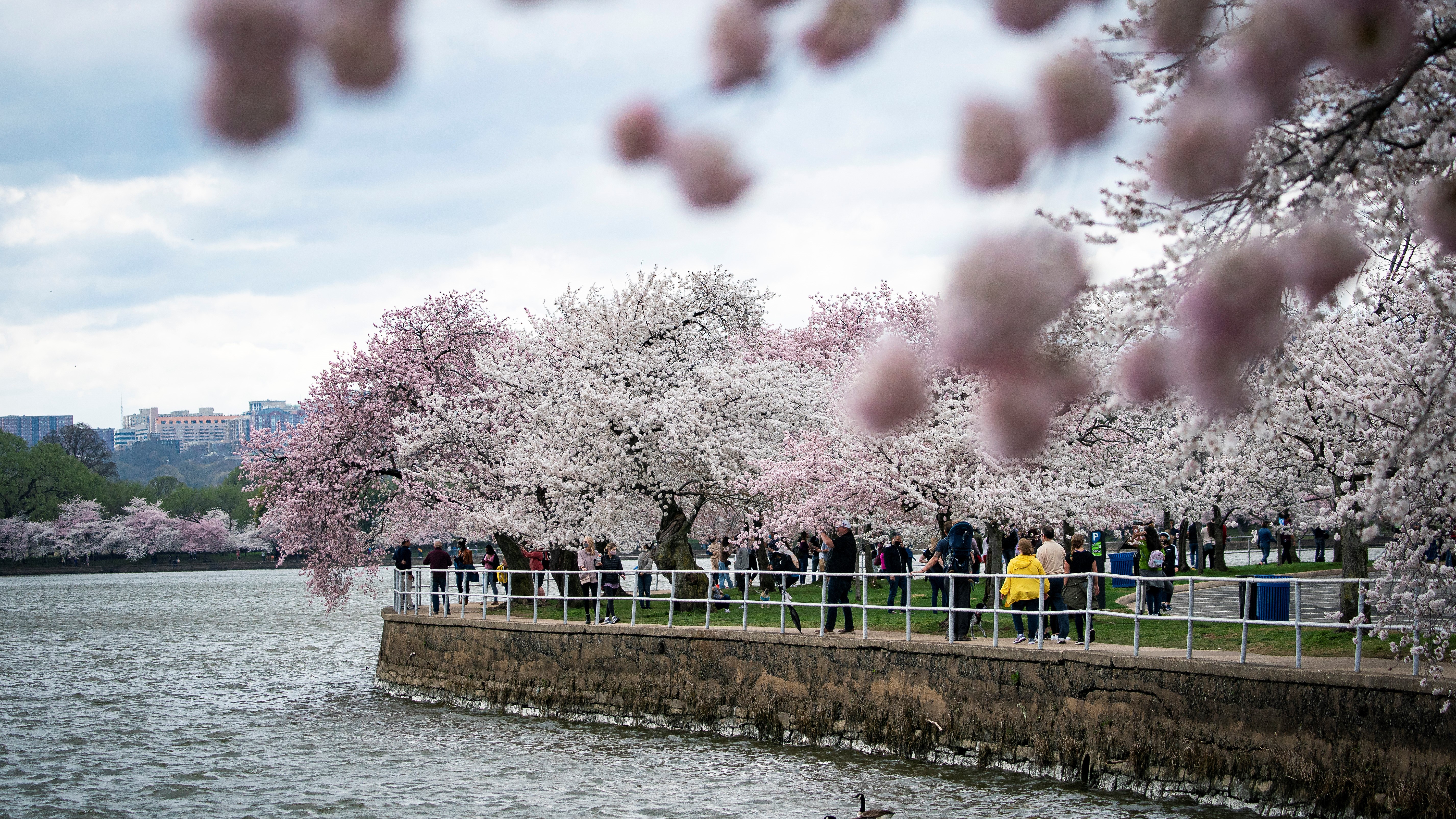
Skies will clear up Saturday evening leading to dry weather for Sunday and Monday — wonderful for cherry blossom viewing.
Sunday will bring partly sunny skies, northwest winds and highs near 60°.
Monday will feature sparkling sunshine with highs near 70°.
By Tuesday, the cherry blossoms could reach peak bloom. The National Park Service has estimated 70% of the Yoshino cherry trees along the Tidal Basin will be flowering between Tuesday and Friday.
Here’s your ultimate guide to viewing the cherry blossoms.
