Thunderstorms capped another steamy, hot summer day in the D.C. area and raised concerns about potential flooding.
The storms are "training" through the area, meaning they are following the same track and bringing rain to the same places and increasing potential for flooding.
A flash flood warnings for parts of D.C., Prince George’s County, Arlington County, Falls Church, Fairfax County, Alexandria, Stafford County, Fauquier County, Culpeper County and Spotsylvania County are in effect until 2 a.m.
A flash flood warning for parts of Charles, Stafford and Prince William counties expires at 2:30 a.m.
A flood warning for west central Prince George’s County is in effect until 1:15 a.m.
Much of the region is also under a flash flood watch through 4 a.m. Saturday.
See all severe weather alerts here.
We're making it easier for you to find stories that matter with our new newsletter — The 4Front. Sign up here and get news that is important for you to your inbox.
What's left of Hurricane Laura, which has been downgraded to a tropical depression as it makes its way straight for the capital region, continues to look like it will affect your weekend plans.
The remnants of the major hurricane, coupled with a late-day cold front, are set to bring strong and severe storms to the region on Saturday. We also have the small possibility of tornadoes Saturday.
Weather
Latest weather forecast, live radar and weather maps for Washington, D.C., Maryland and Virginia
The timing of the storms looks like midday to early afternoon, with conditions improving by sunset.
Once again, damaging winds and heavy rain are the primary concern, but isolated tornadoes can't be ruled out. The actual track of Laura will truly dictate the risk of tornadoes.
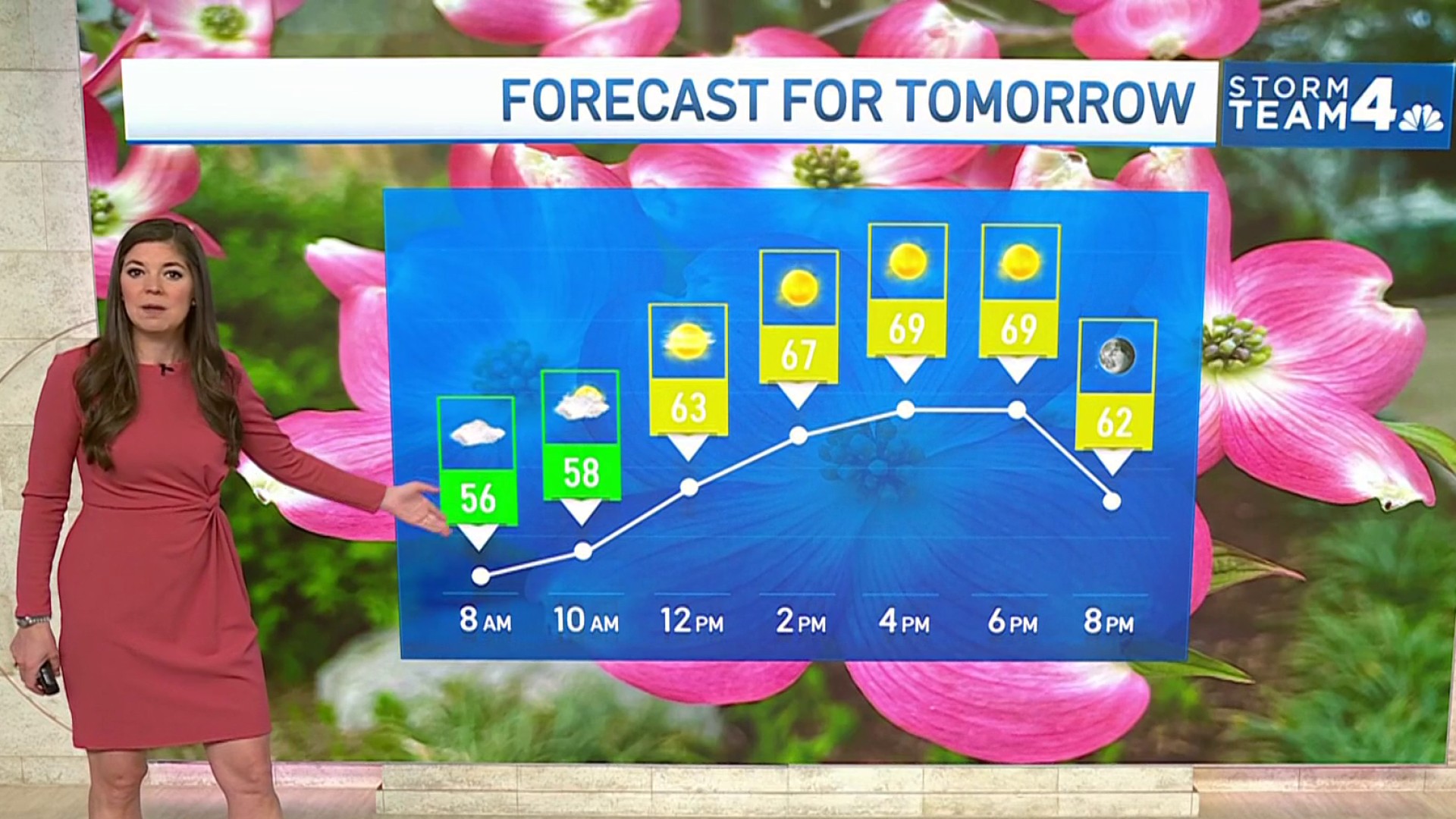
The weekend won't be a total washout. Sunday is expected to be gorgeous, with dry air and cooler than average temperatures.
Stay with Storm Team4 for the latest forecast.


