
You may need your puffy winter coat again in the Washington, D.C., through the start of the week.
Sunday was sunnier, but temperatures stayed in the 40s with northwest winds of 15-25 mph and stronger gusts. Isolated, light snow showers fell into the evening but come to an end after sunset.
Dig out your mittens, scarves and hats for Monday — it will get off to a frosty start. Cold air and strong northwest winds with gusts of 25-30 mph (stronger along the Potomac Highlands) will cause temperatures to fall fast overnight. Lows tonight will be in the mid-20s in D.C. and the teens west of I-81. Wind chills will be near 20 degrees inside the Beltway and the teens north and west of D.C. Highs Monday will only reach the mid-to-upper-40s.
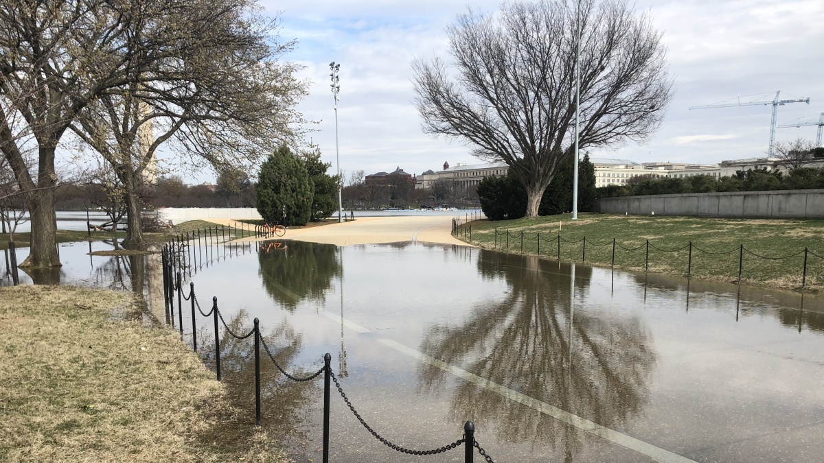
The unseasonably cold weather comes on the heels of some winter precipitation on Saturday.
We're making it easier for you to find stories that matter with our new newsletter — The 4Front. Sign up here and get news that is important for you to your inbox.
The National Weather Service said graupel — also known as soft hail or snow pellets — rolled over the D.C. area Saturday. A few snowflakes were even spotted in parts of Northern Virginia. Other areas saw light rain showers.
Blustery weather may have been good news for the Blossom Kite Festival at the National Mall and several other parks in the D.C. area.
However, gusts could blow the blooms off the cherry trees on the National Mall.

On Tuesday, we’ll start to bounce back from the cold. Highs will be near 50°.
Wednesday could bring some afternoon showers and highs around 58°.
Highs will likely be back near 70° Thursday. Keep your cold-weather gear handy, however, because the 10-day forecast shows lows in the 30s and 40s into the first days of April.
